Ridden
344.2mi
Climbed
6,387ft
On the bike
30h 41m
Average
11.2mph
Top speed
26.2mph
Wed Sep 16
Longest day
78.2mi
Wed Sep 16
Fastest day
12.2mph
Fri Sep 18
Calories
20,252
estimated
The Ohio to Erie Trail was imagined in 1991 by Edward Franklin Honton, a former Franklin County engineer. It runs 326 miles from Lake Erie to the Ohio River. Currently, about 91% of it is dedicated multi-use trail. The rest is still road.
Tap a day to jump to it
The line across Ohio
Five days, recorded as I rode them. Tap a day to see it on its own.
Day 1 · Tuesday, September 15
Cleveland to Canal Fulton
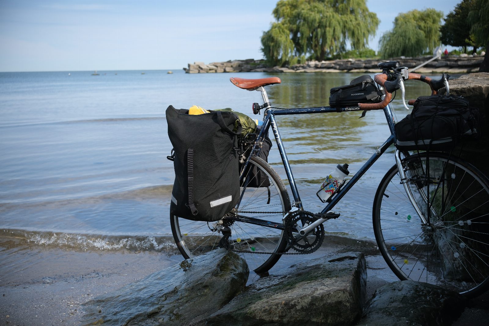
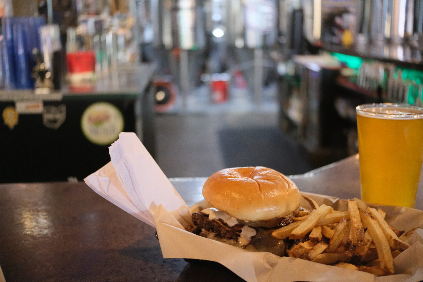
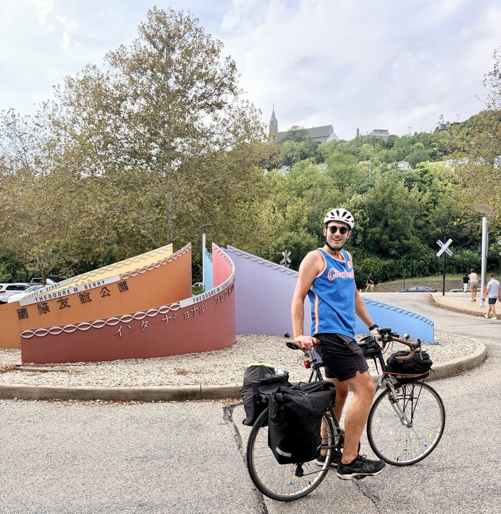
The ride started at a rental car counter in Edgewater, Cleveland. I dropped the one-way from Cincinnati at an Enterprise near the beach, rode to the Cleveland sign, then to Edgewater Beach to put the rear tire in Lake Erie. Forty miles down the canal towpath to Akron for my first brewery, twenty more to a campground on the canal. The extra miles from the Enterprise, plus trail construction in Cuyahoga Valley National Park turned a sixty-mile day into sixty-seven. It was really cool to see the transition between the gritty urbanism of Cleveland and the lush nature of the park. I didn't know what a towpath was until this ride. Now I do. It was the only day my butt and knees didn't hurt.

Miles
67.3mi
20% of the trip
Moving
6h 22m
Calories
4,065
estimated
Pace
10.6 mph average5:40/mi · 24.1 top
Elevation
+1,496 −1,299 ft22 ft per mile
Weather
83° high, 62° lowS 8 mph
- Day
- 1 of 5
- Highest
- 916 ft
- Lowest
- 462 ft
- Done by dusk
- 67.3 of 344.2 mi
Missing Falls Brewery, Akron Cherry Street Creamery, Canal Fulton Canal Fulton Canoe Livery
The canal and the path beside it
Ohio became a state in 1803 with fifty thousand people, good soil and no great way to export anything — a wagon couldn't haul enough to be worth the trip. The canal was a fix for that. Ground broken July 4th, 1825; 308 miles finished by 1832, joining Lake Erie at Cleveland to the Ohio River at Portsmouth. A boat could carry ten tons at three miles an hour.
Nothing on the boat moved it. Beasts of burden walked a packed path along the bank on the end of a rope. That path is the towpath — pounded flat animals worked it every day, making it a perfect trail 100 years later.
The railroads took over hauling freight in the 1850s, and the Great Flood of 1913 further wrecked the canal. Instead of rebuilding the canal, the towpath became a trail instead, so the surface I rode out of Cleveland is the same one decades of mules wore in!
Tue Sep 15 15 photos
Day 2 · Wednesday, September 16
Canal Fulton to the Kokosing
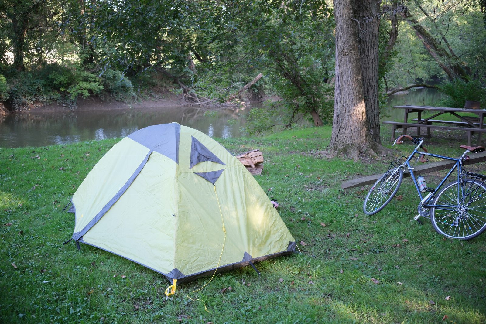
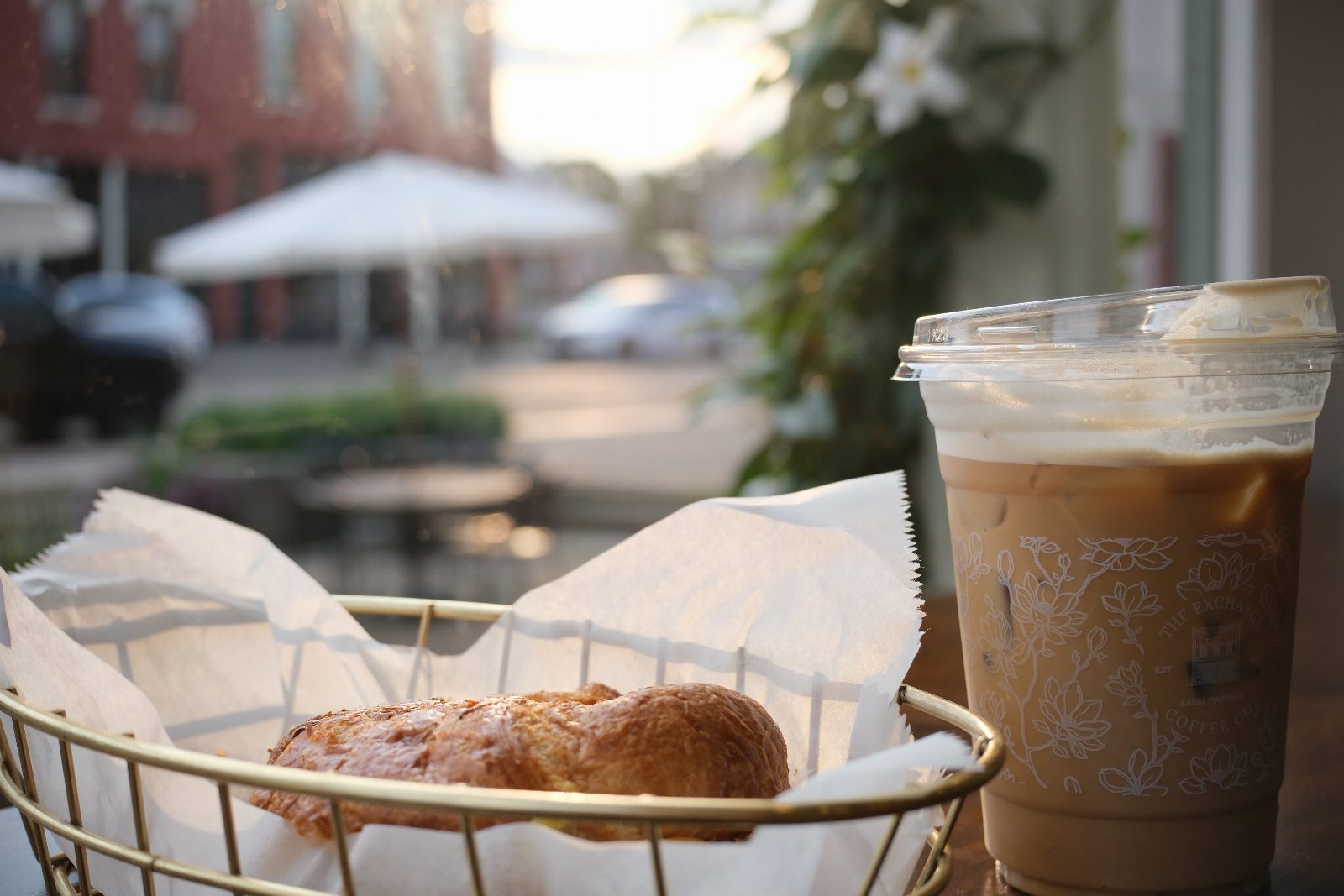
Forty-six miles to Millersburg for another brewery and lunch, thirty-one more to a campground on the Kokosing River. The longest day of the trip and the most climbing, but it didn't feel like the hardest — I think I still had a lot of energy. Looking back I'm surprised: I went much slower on the first two days than the rest, and day two is where the hills were.
Miles
78.2mi
23% of the trip
Moving
7h 18m
Calories
4,661
estimated
Pace
10.7 mph average5:36/mi · 26.2 top
Elevation
+2,142 −2,188 ft27 ft per mile
Weather
84° high, 72° lowS 3 mph
- Day
- 2 of 5
- Highest
- 1,039 ft
- Lowest
- 707 ft
- Done by dusk
- 145.5 of 344.2 mi
Millersburg Brewing Company Kokosing Valley Camp and Canoe
The Holmes County Trail
It's the first rail trail in the country built to carry Amish buggies as well as bicycles. Twenty-two of a planned twenty-nine miles are finished.
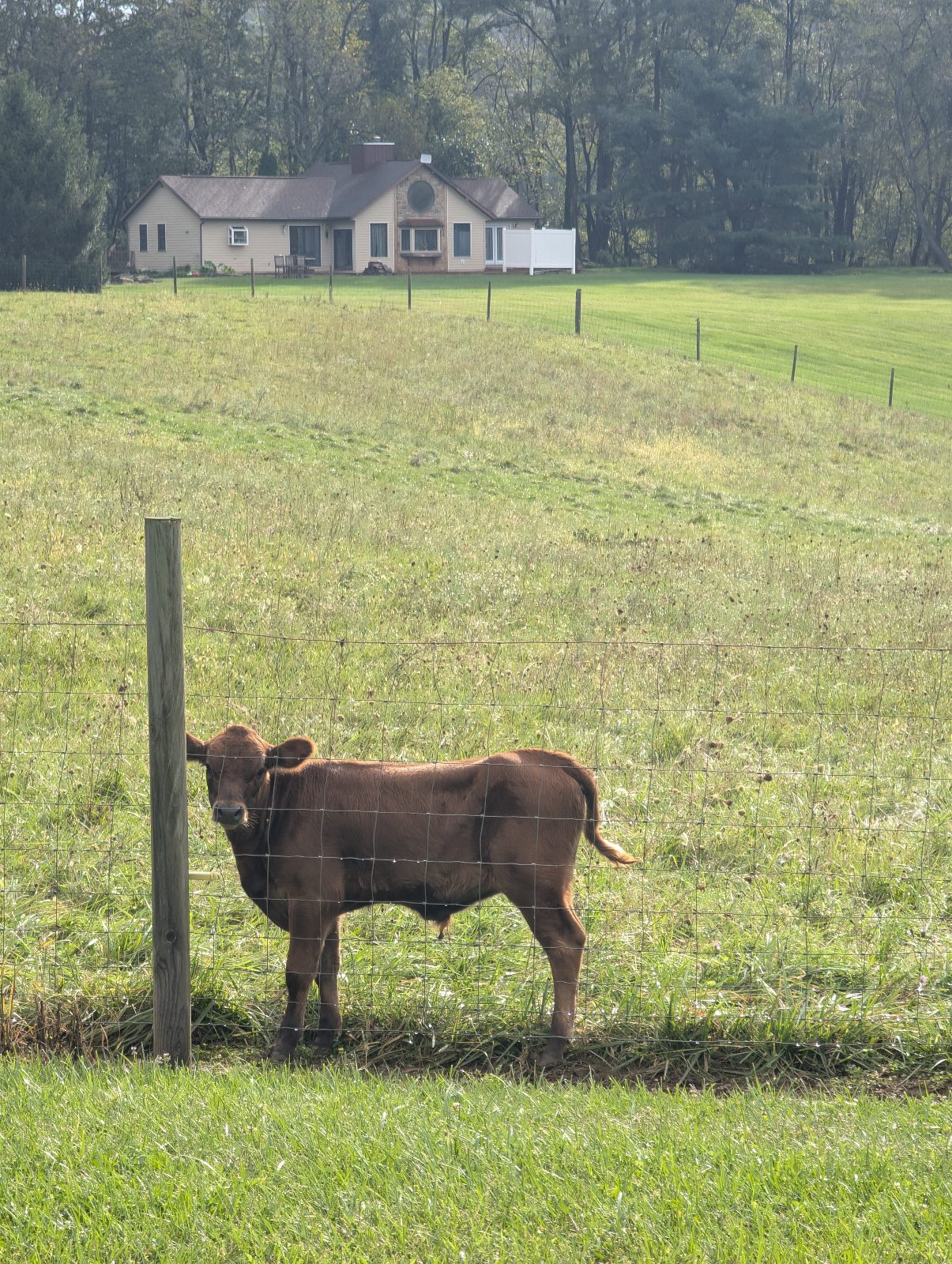
Rode past quite a few horsies and even more horsie dungs. I managed to avoid most piles, but I was watching a bird and went straight through a fresh one.
Wed Sep 16 29 photos
Day 3 · Thursday, September 17
The Kokosing to Columbus
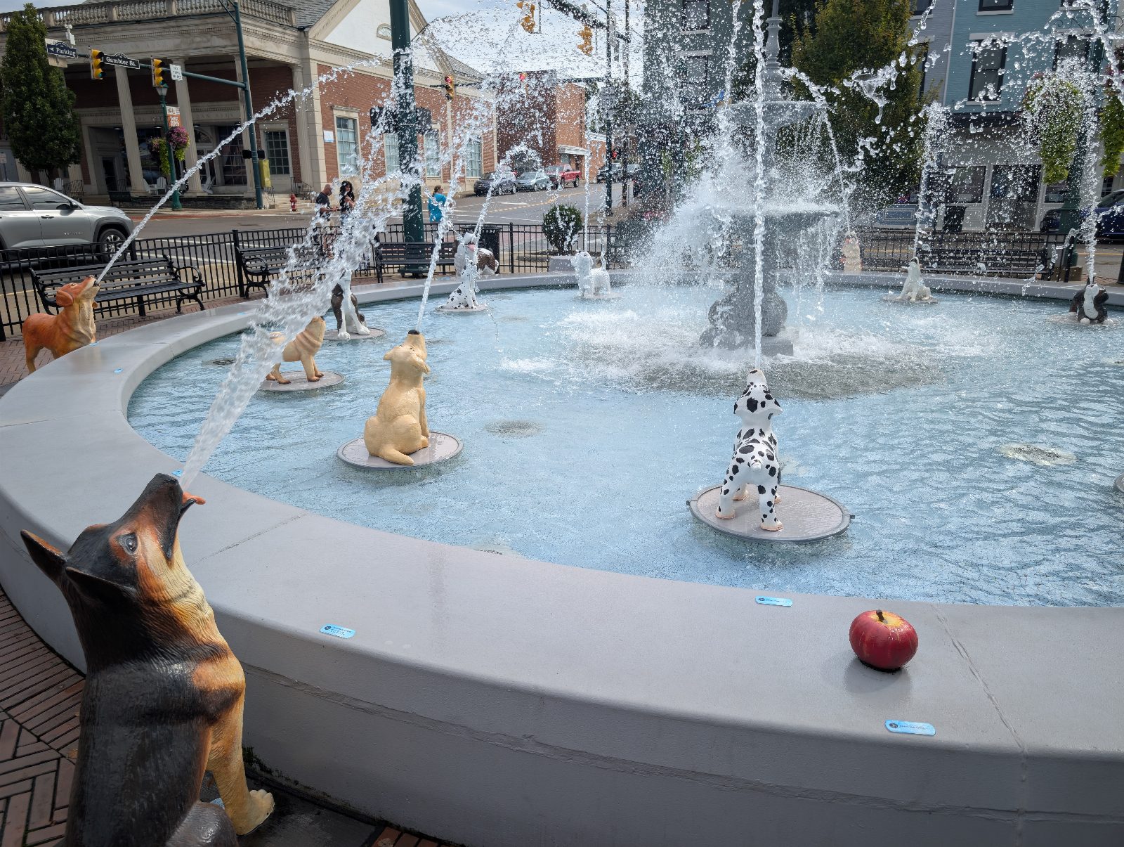
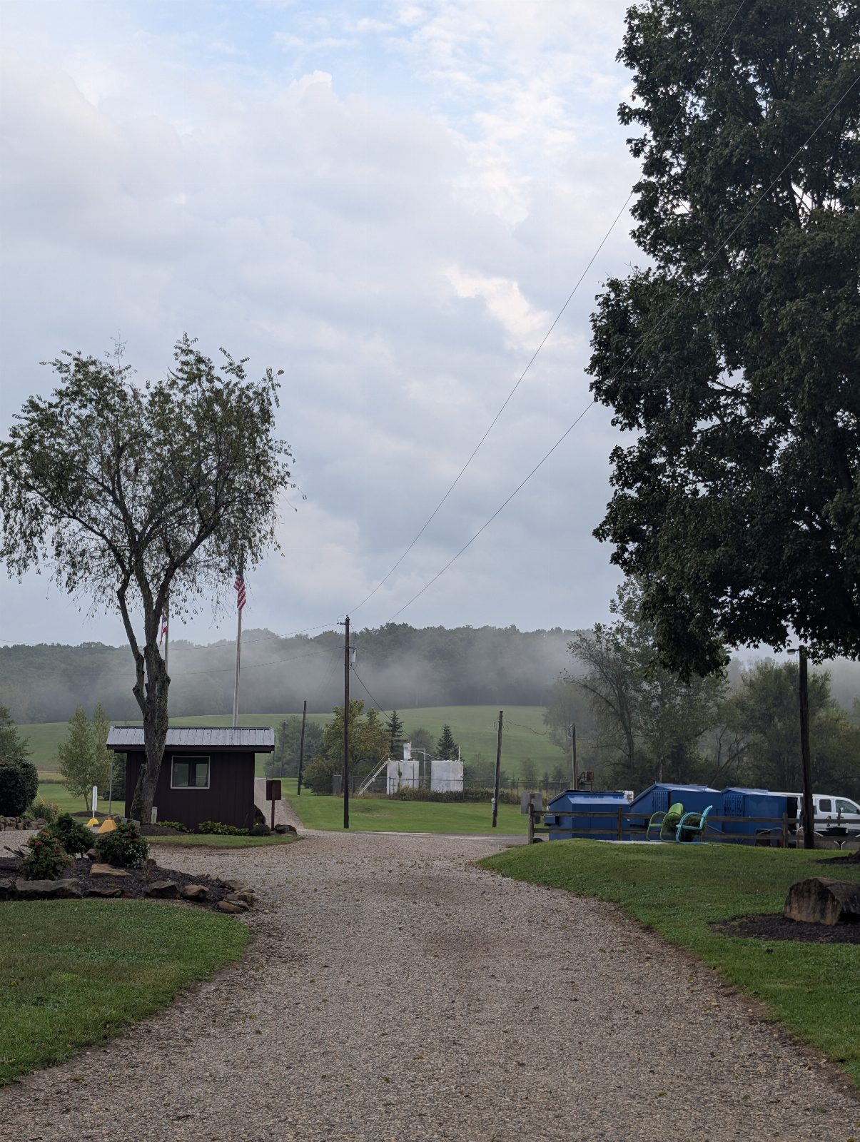
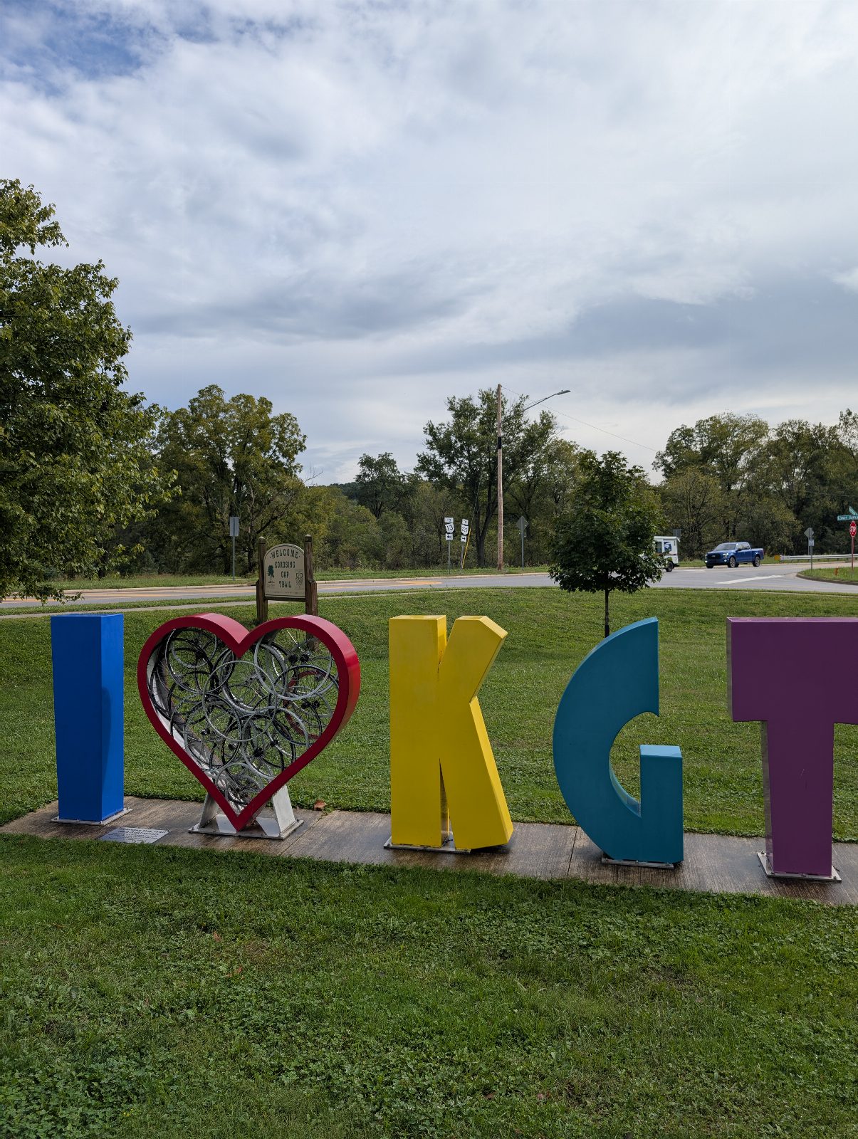
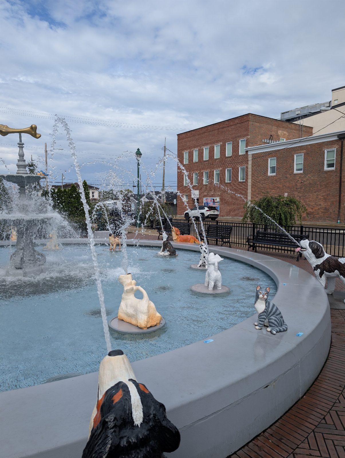
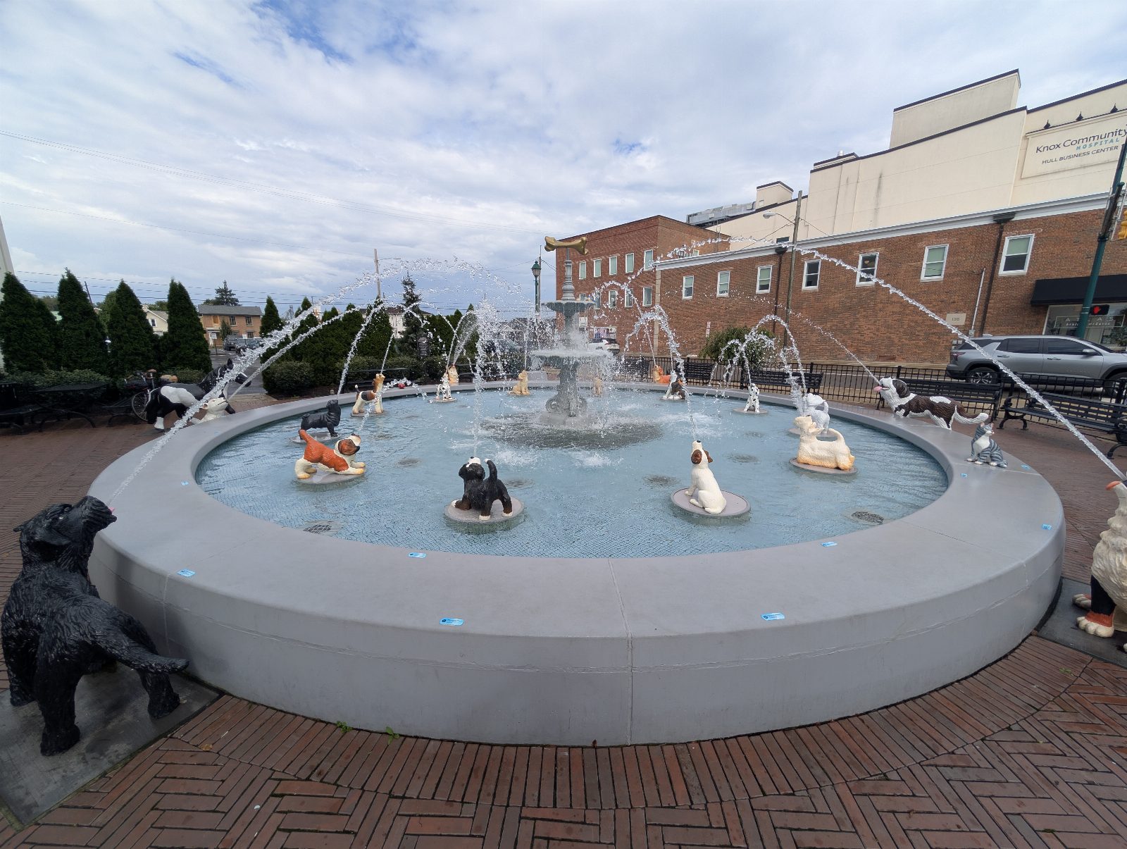
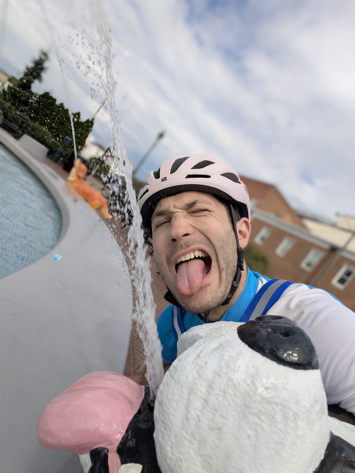
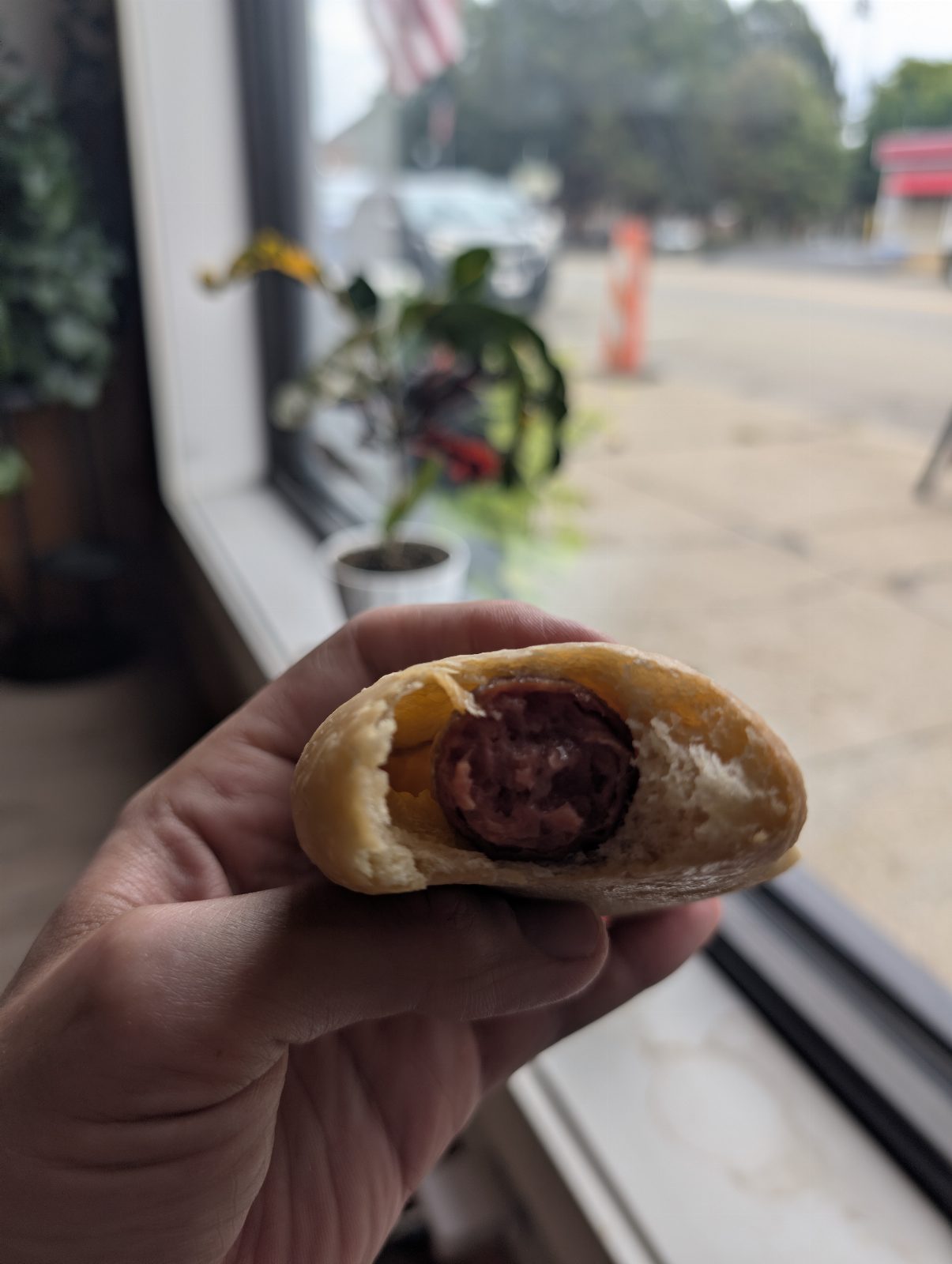
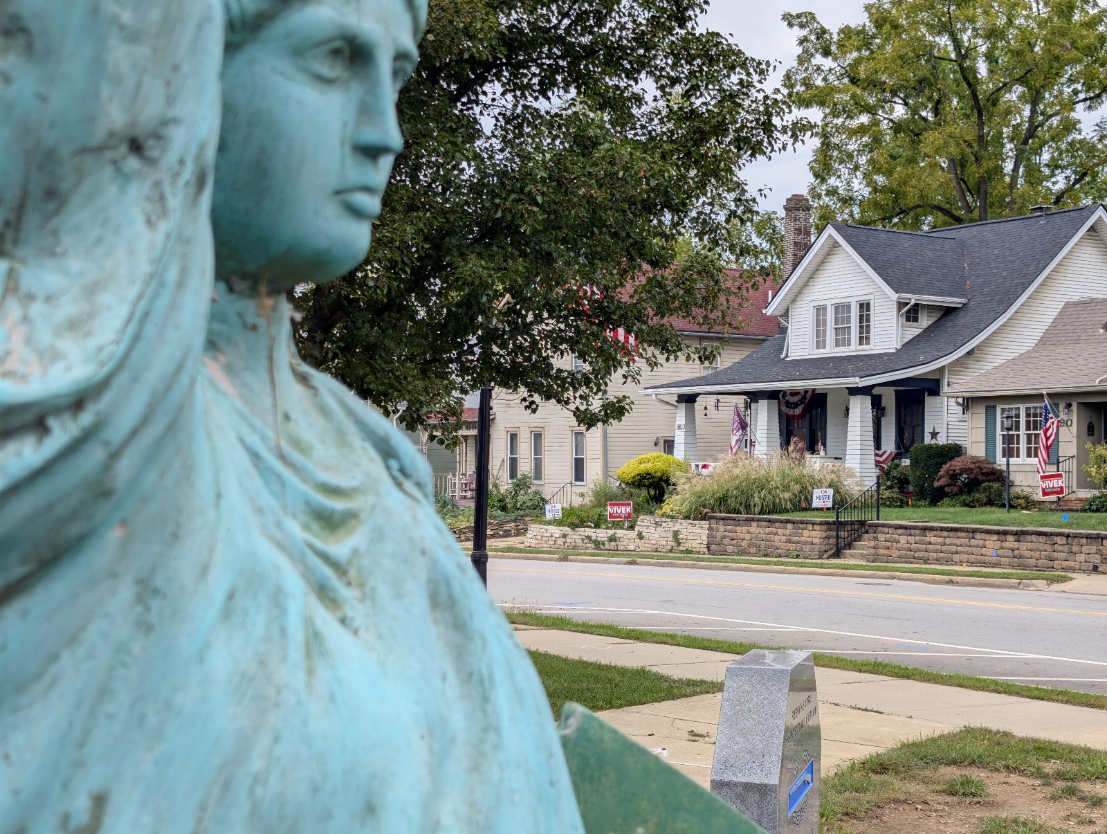
Fourteen miles to the Dog Fountain in Mount Vernon, which I thought would maybe be cheesy and which brought me a lot of smiles instead. :) Lunch and coffee in Centerburg, then forty-nine miles into Columbus. Dinner and drinks with Paige, back to the house where Meg was, and the best shower of the trip.
Miles
62.7mi
18% of the trip
Moving
5h 44m
Calories
3,661
estimated
Pace
11 mph average5:27/mi · 23.2 top
Elevation
+1,024 −1,122 ft16 ft per mile
Weather
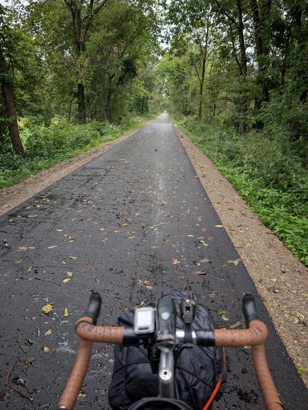
78° high, 71° lowW 8 mph · 0.33 in of rain
- Day
- 3 of 5
- Highest
- 1,166 ft
- Lowest
- 645 ft
- Done by dusk
- 208.2 of 344.2 mi
Dog Fountain, Mount Vernon Centerburg Gemüt Biergarten, Columbus
The Dog Fountain, Mount Vernon
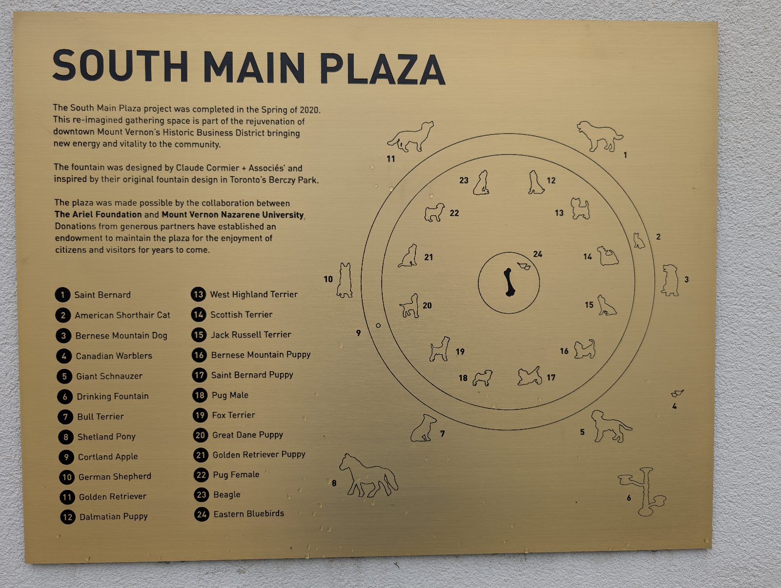
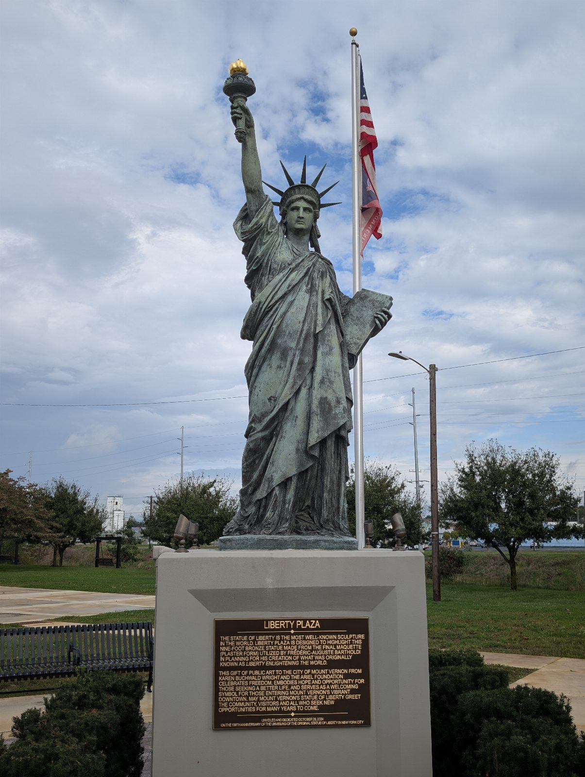
Installed 2019 and paid for by the Ariel Foundation: painted cast aluminum, eighteen dogs, one cat, two pairs of birds, a pony and an apple. What the heck. So cute.
Centerburg
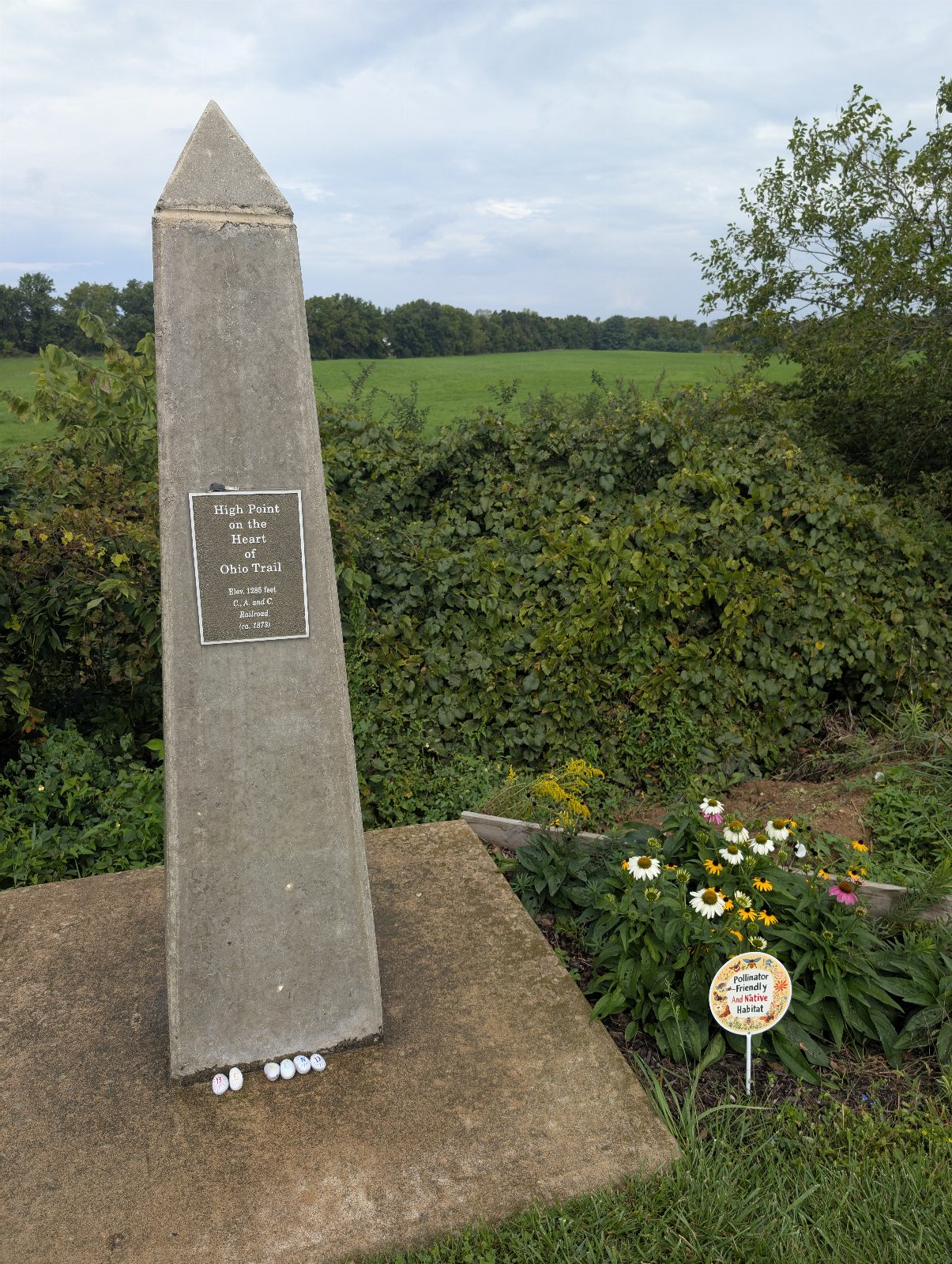
Laid out in 1830 and named for where it is: the geographical center of Ohio. I stopped for lunch in the middle of the state!
Thu Sep 17 24 photos
Day 4 · Friday, September 18
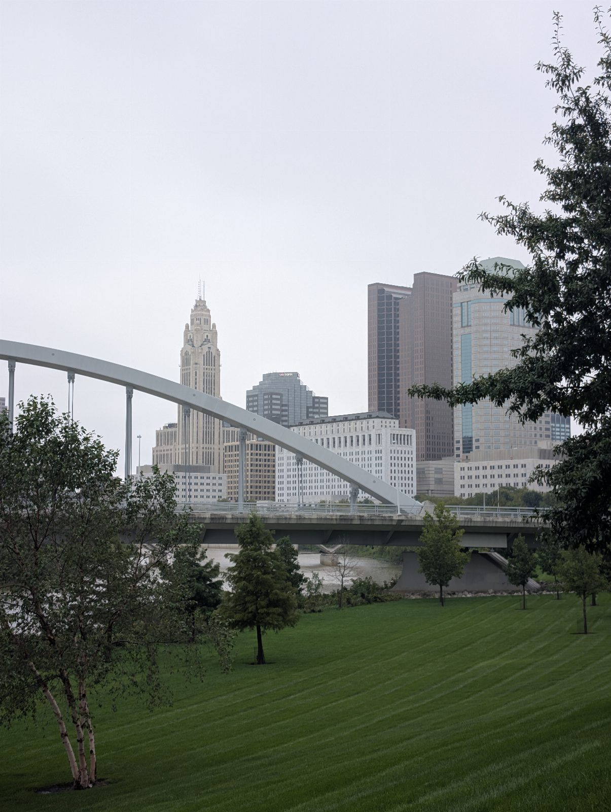
Columbus to Spring Valley
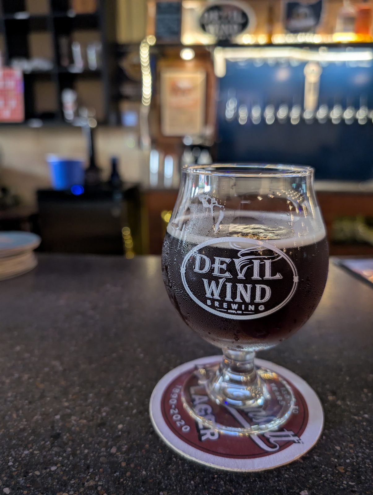
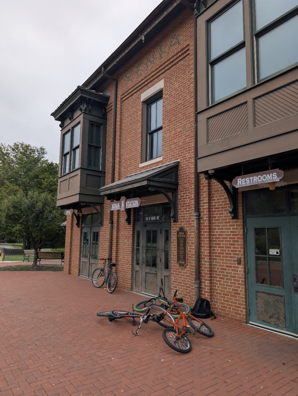
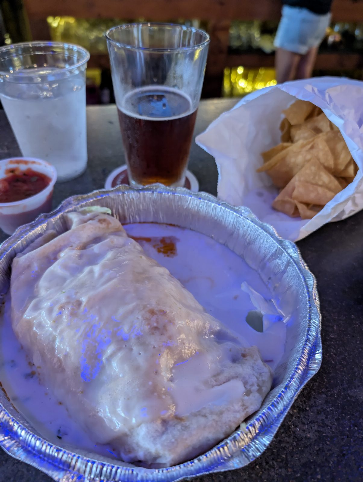
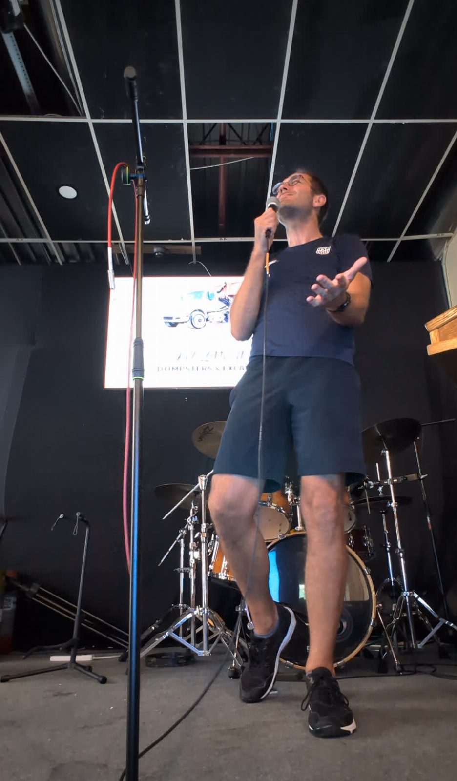
Fifty-seven miles to Xenia, then seven more to camp at Constitution Park, the third campground where I was the only camper. The fastest day of the trip: better surface, flatter, and maybe my legs finally getting into the rhythm — though by now my butt and knees were killing me. I also tried karaoke at Devil Wind. I was testing a new song that didn't land... the locals were not complimentary but they were very supportive.
Miles
71.7mi
21% of the trip
Moving
5h 52m
Calories
4,407
estimated
Pace
12.2 mph average4:55/mi · 20.6 top
Elevation
+1,115 −1,112 ft16 ft per mile
Weather
76° high, 68° lowN 8 mph
- Day
- 4 of 5
- Highest
- 1,051 ft
- Lowest
- 596 ft
- Done by dusk
- 279.9 of 344.2 mi
Devil Wind Brewing, Xenia Acapulco, Xenia Constitution Park, Spring Valley
Bean Festival, Potato Festival
The brewery folk were discussing two things: The Jamestown Bean Festival was happening that very weekend, a few miles east down the trail: ham and beans, three-bean casserole, Mexican beans, cornbread.
The Spring Valley Potato Festival, in the town where I was about to camp, is the first full weekend of October and has run since 1977. Ten thousand people come for potato soup and potato candy.
Fri Sep 18 22 photos
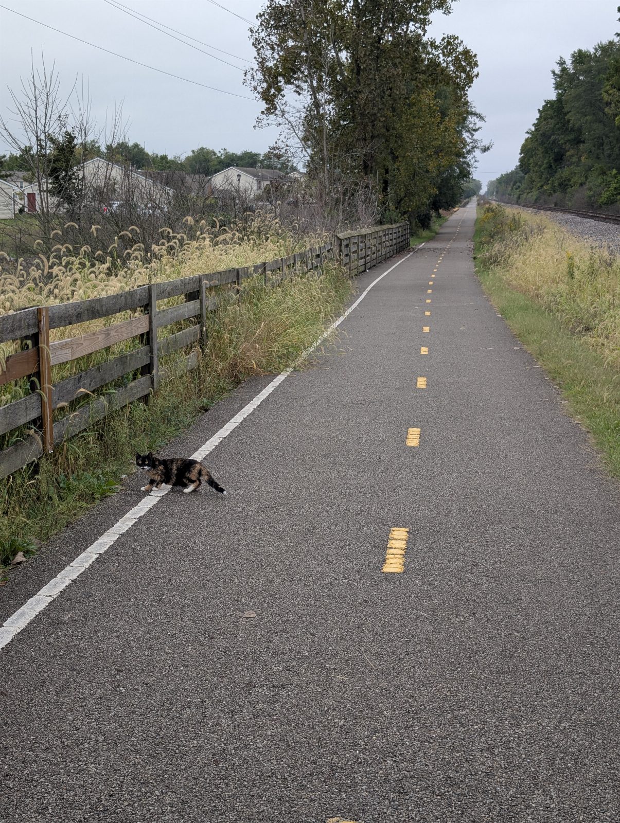
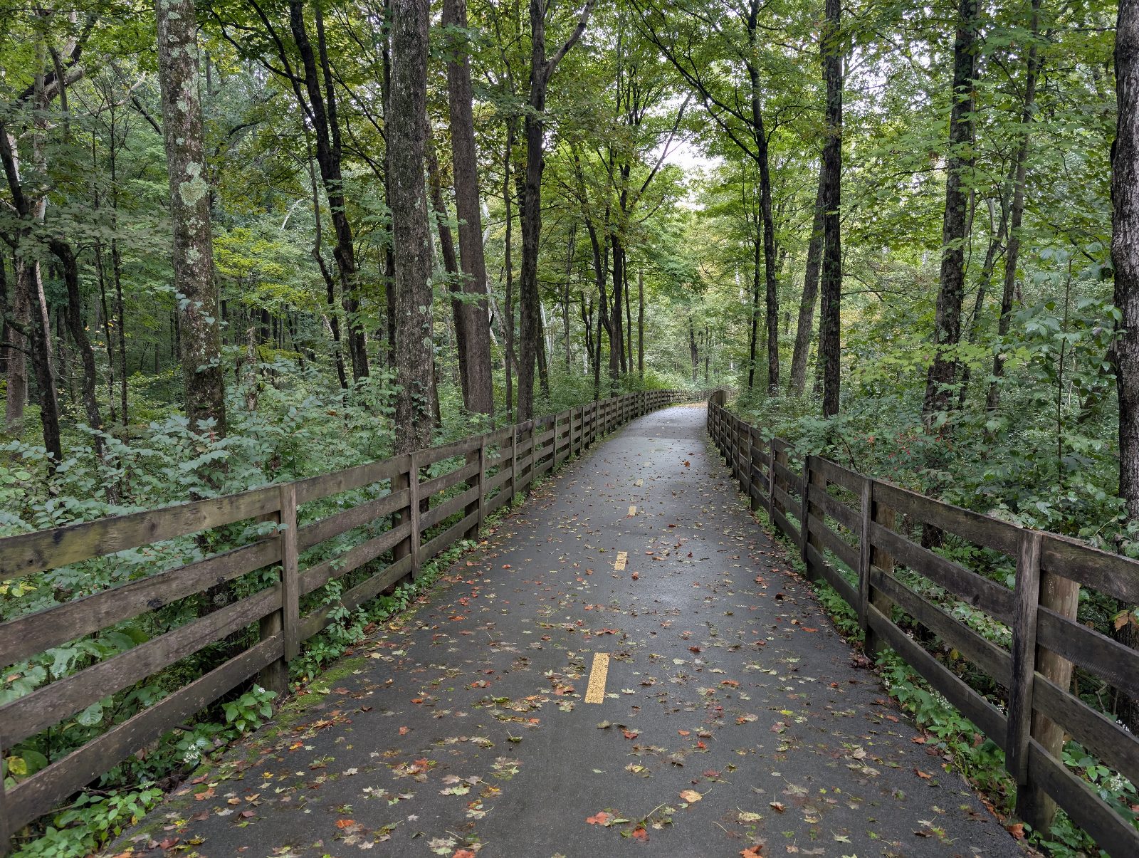
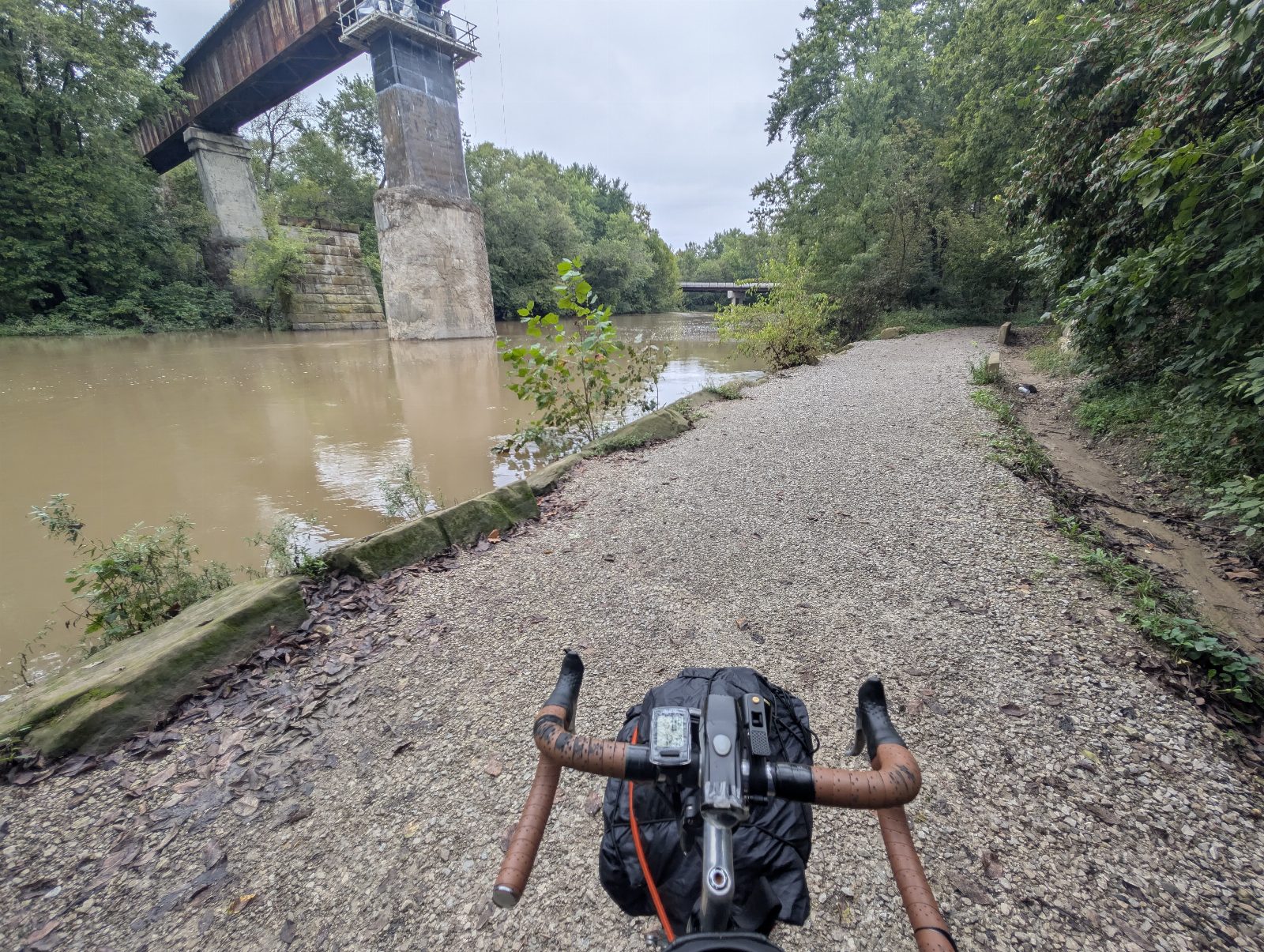
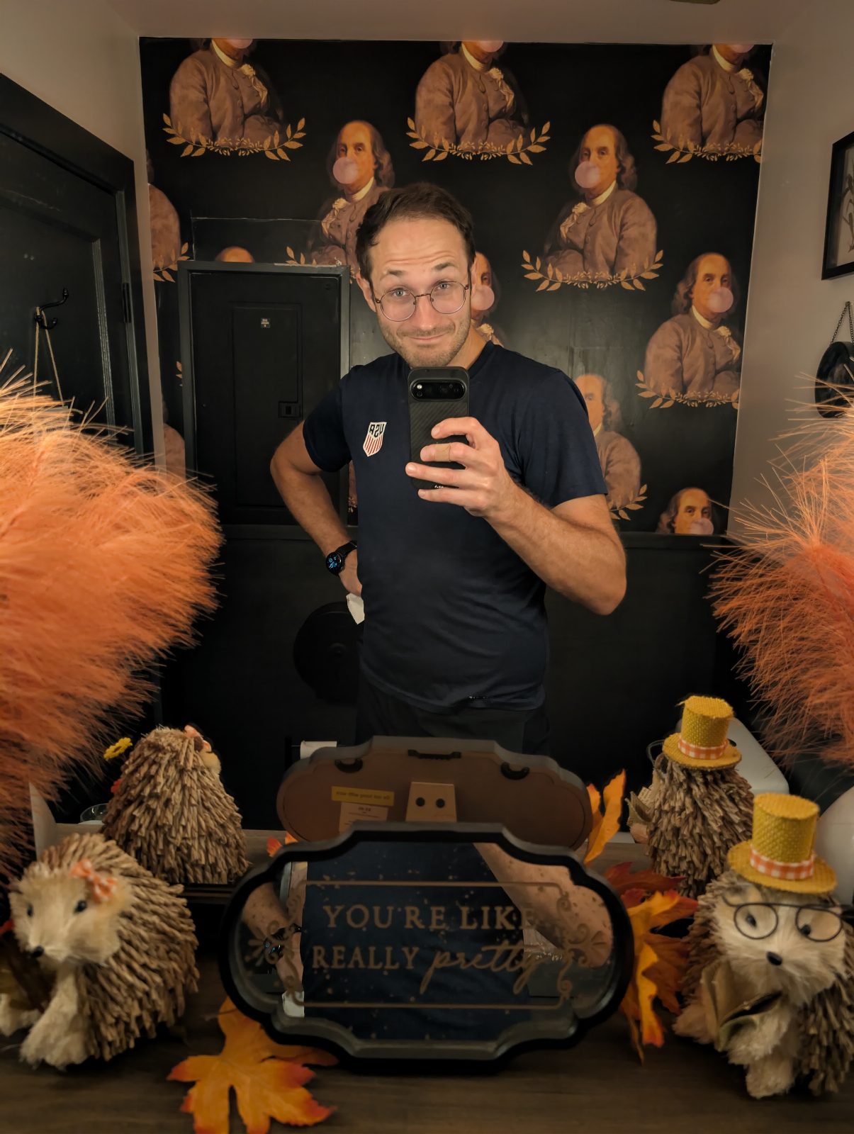
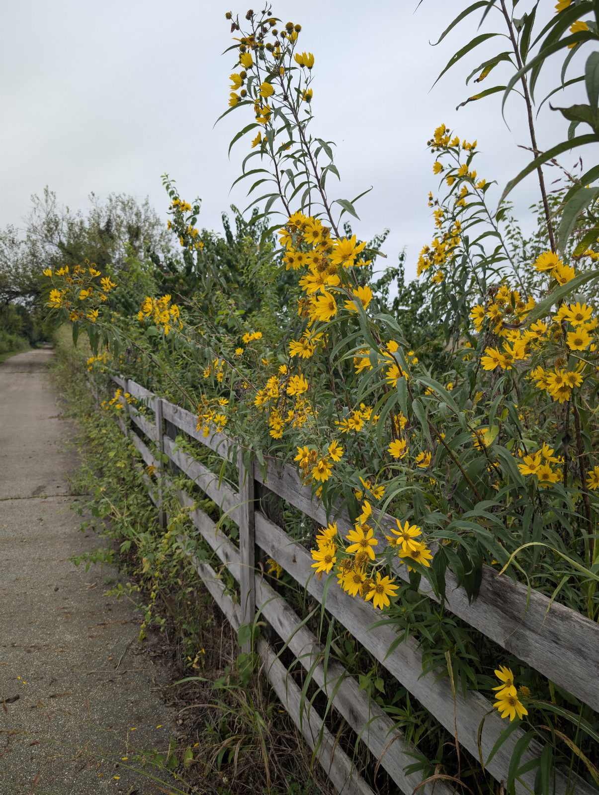
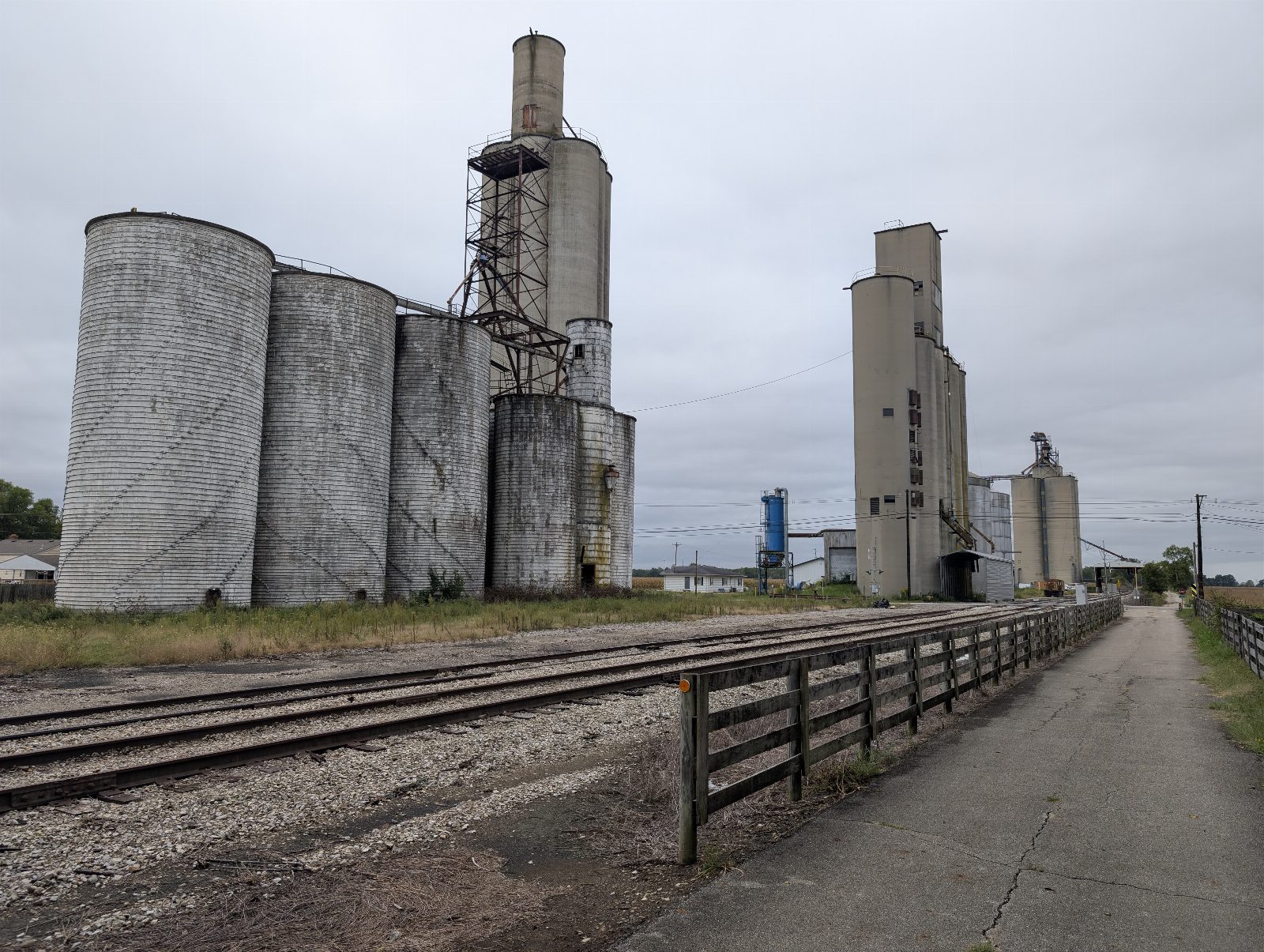
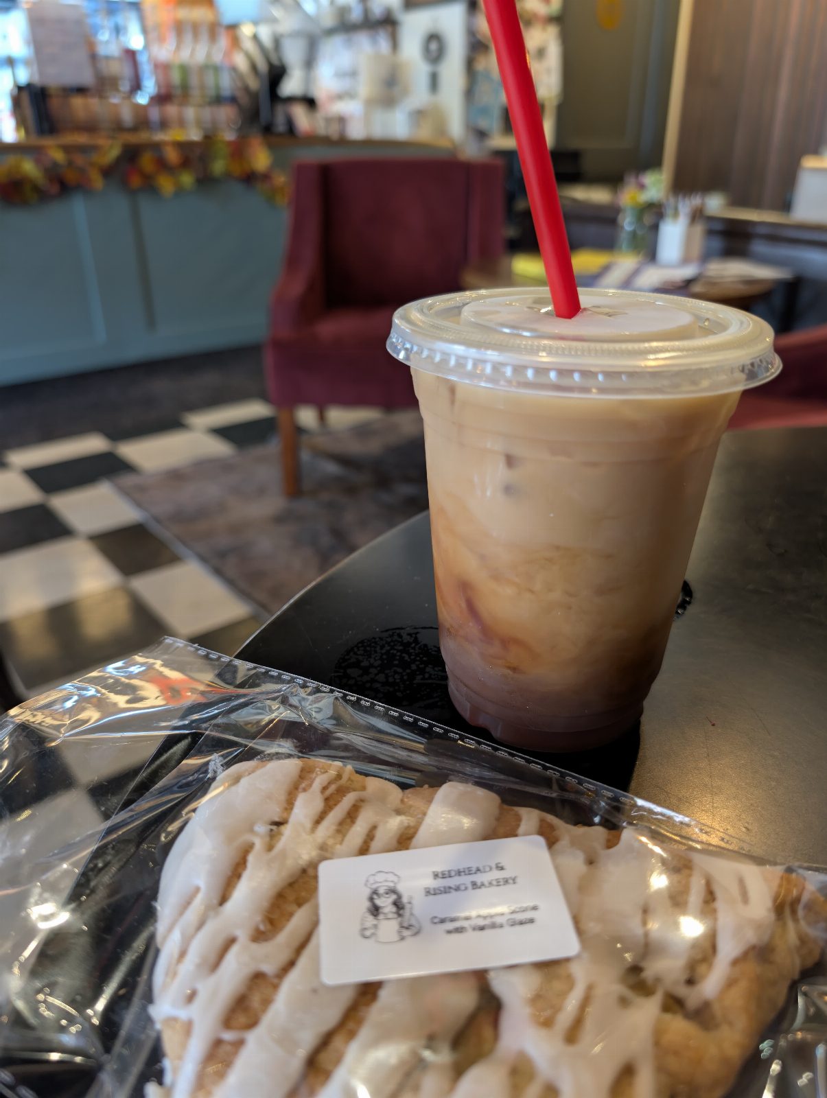
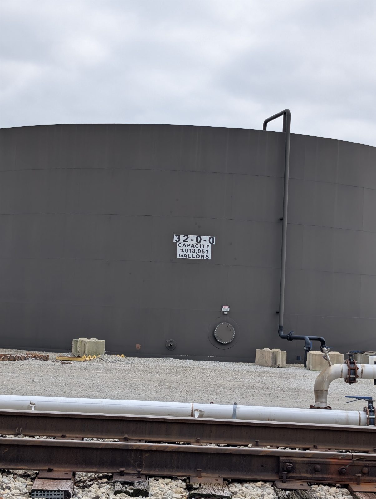
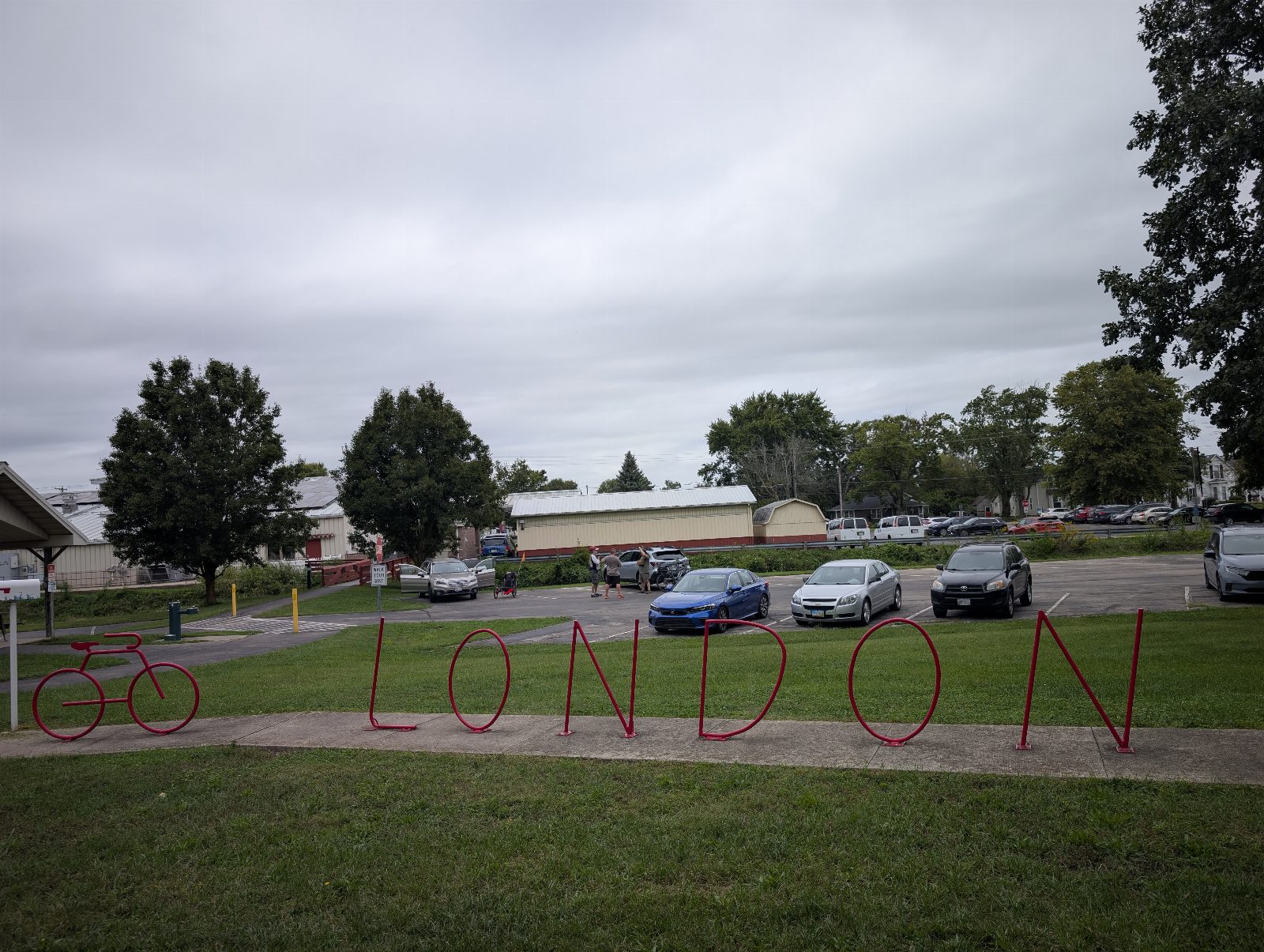
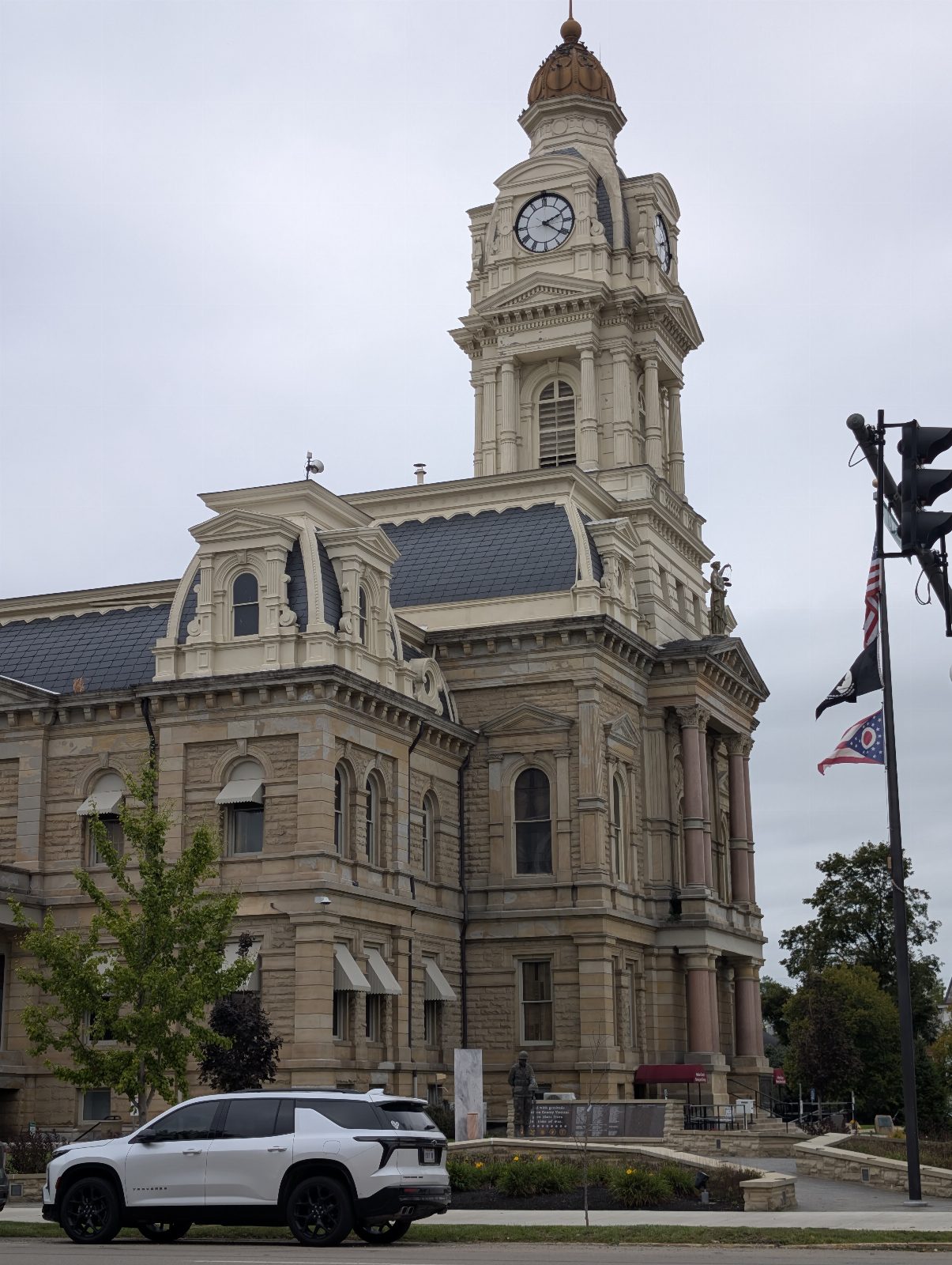
Day 5 · Saturday, September 19
Spring Valley to Cincinnati
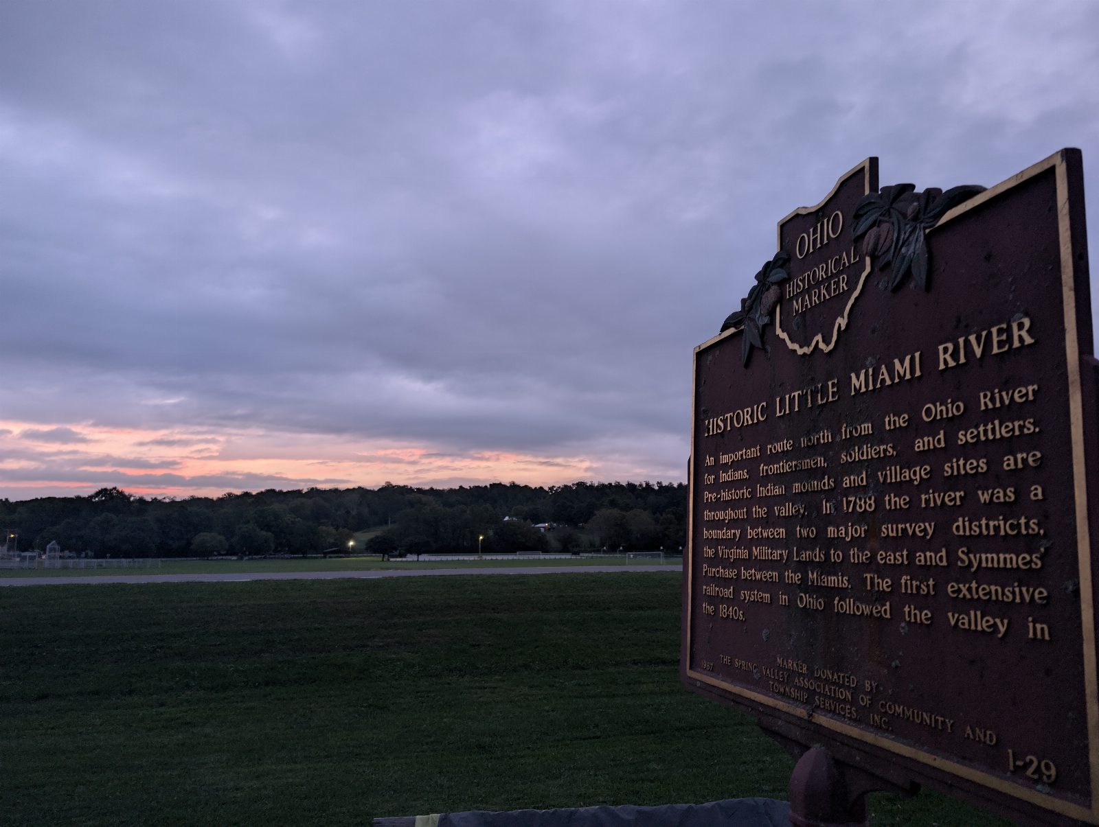
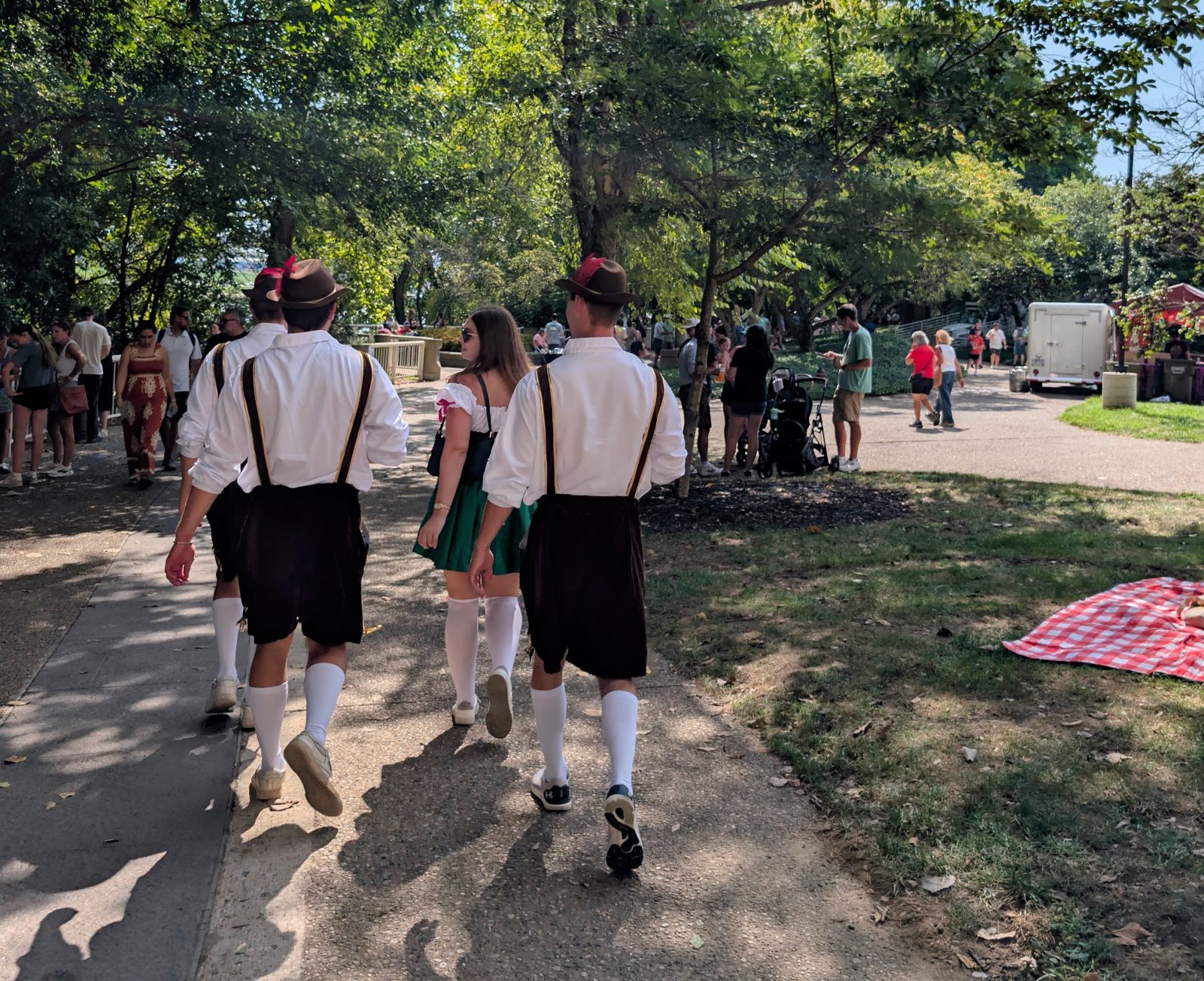
Thirty-seven miles to Maineville for my last brewery stop and lunch, then thirty more down the Little Miami into Cincinnati. Three hundred and forty-odd miles in, I wove through the Oktoberfest crowd without bumping into a single drunk reveler, and took the bike down under the Roebling. Two logs were positioned perfectly, so it stood up on its own with the front tire in the Ohio River. Surreal — both to finish, and to finish at home under an iconic Cincy landmark.
Miles
64.3mi
19% of the trip
Moving
5h 25m
Calories
3,458
estimated
Pace
11.9 mph average5:03/mi · 22.4 top
Elevation
+610 ft9 ft per mile
- Day
- 5 of 5
- Highest
- 658 ft
- Lowest
- 361 ft
- Done by dusk
- 344.2 of 344.2 mi
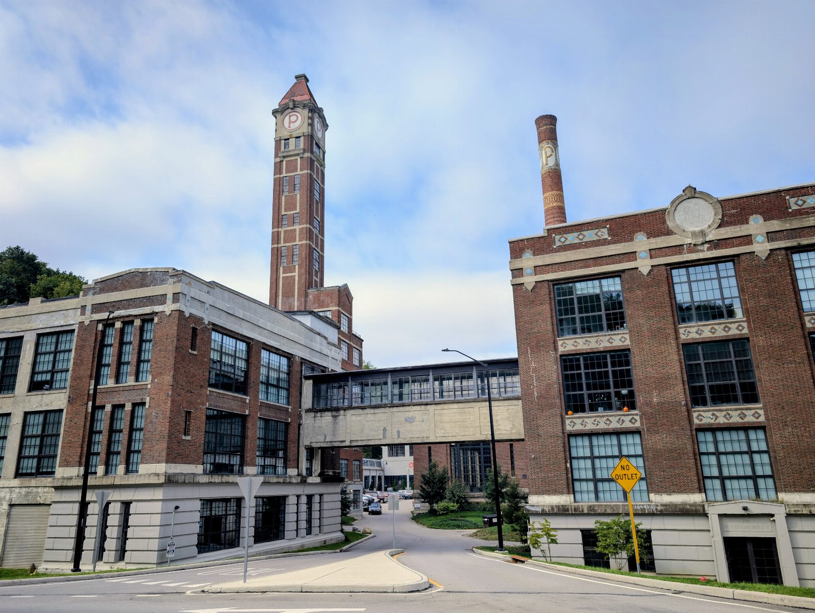
Cartridge Brewing, Maineville Smale Riverfront Park, Cincinnati
The Roebling
John A. Roebling's bridge opened on January 1st, 1867 — a 1,057-foot main span, the longest suspension bridge in the world when it did, and the design he'd scale up for the Brooklyn Bridge sixteen years later. Both ends of this ride had a common theme: nineteenth-century Ohio building something enormous, and still using it two centuries later.
Sat Sep 19 22 photos
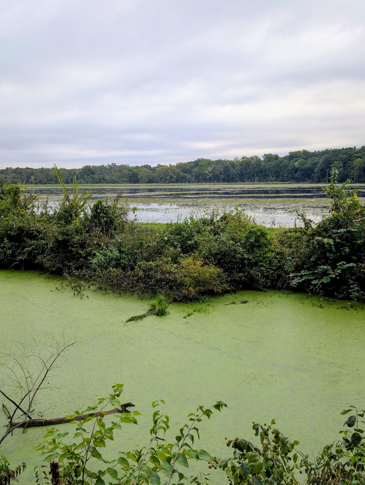
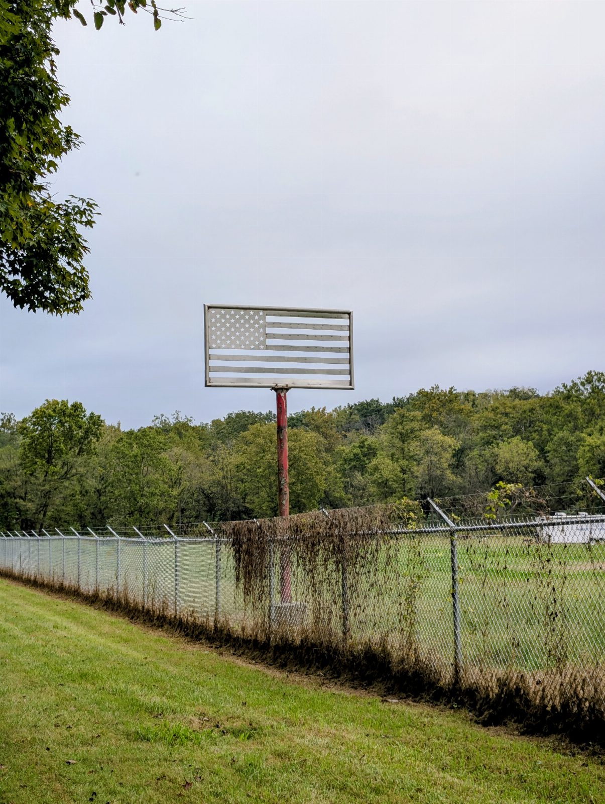
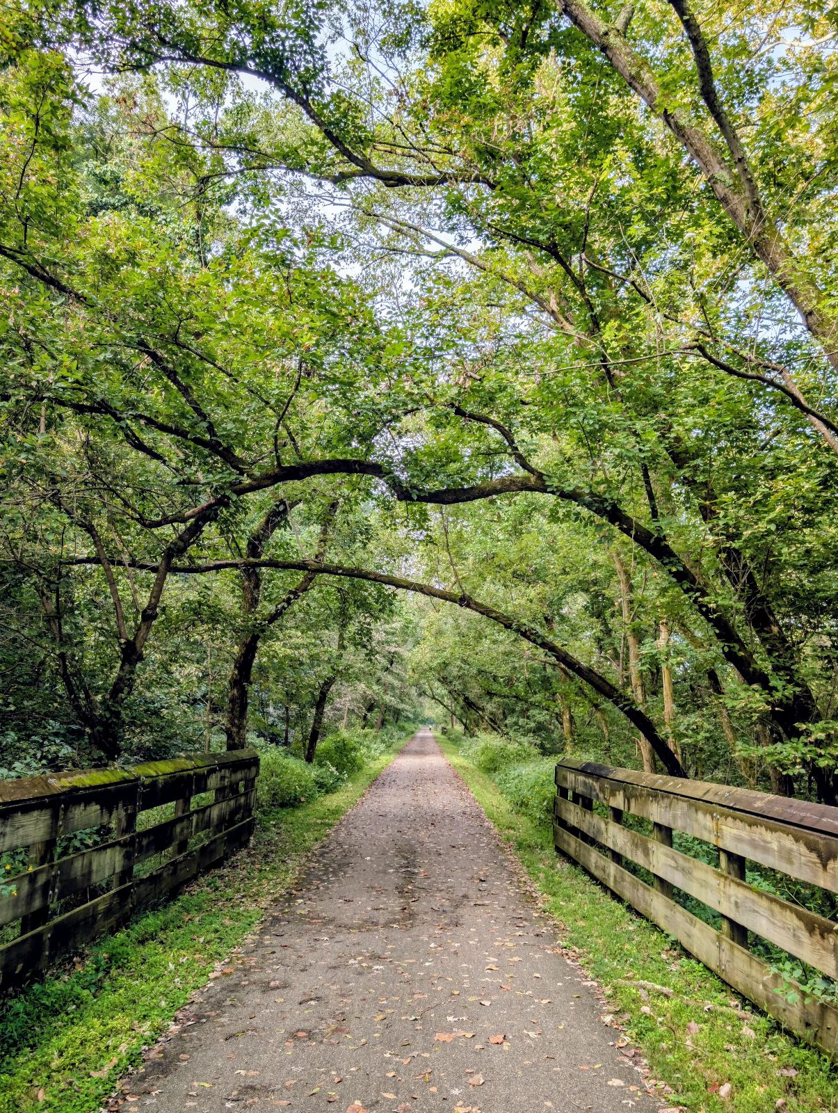
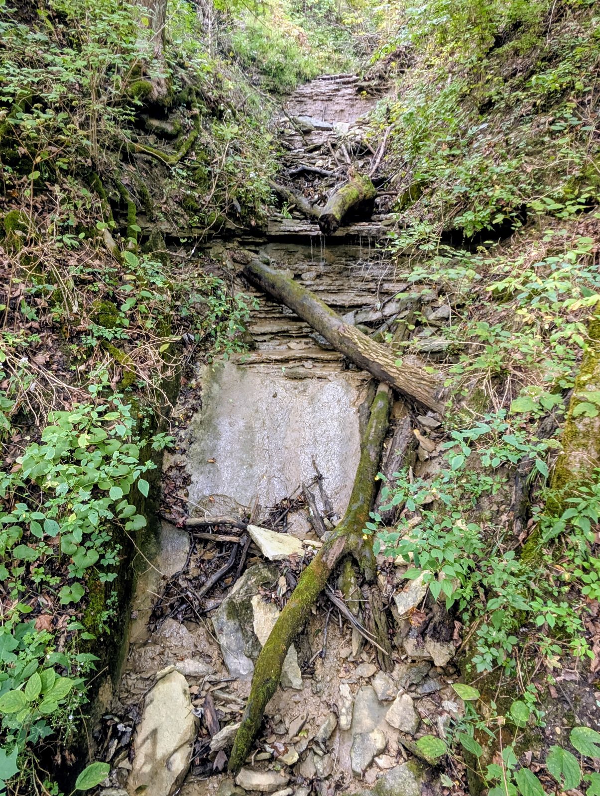
By the numbers
What I took
Not a recommendation list. This is what was actually on the bike for five days.
The bike
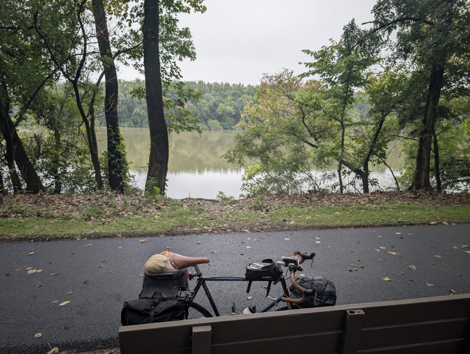
- A navy blue Bridgestone T500. I got the frame from the Bike Co-Op in Peoria, Illinois, and built the bike around it about a decade ago. I don't know what year the frame is.
- Continental Gatorskin tires.
Bags
- A bag on the front rack.
- Two panniers on the rear rack.
- A small bag on top of the frame below the handlebar, for my phone, wallet and quick snacks.
- About thirty-five pounds all in — a guess, not a scale.
Camping
- Mountainsmith Celestial 2P tent.
- Big Agnes Divide sleeping pad, 25 by 78.
- Slumberjack Skypond sleeping bag.
- An inflatable camping pillow.
Clothes
- Two cycling outfits and one casual outfit.
- Two pairs of padded shorts and liners. These were key.
- A waterproof rain jacket.
- Laundry at the Kokosing campground and again at Paige's in Columbus, which is why two kits was enough.
Finding the way
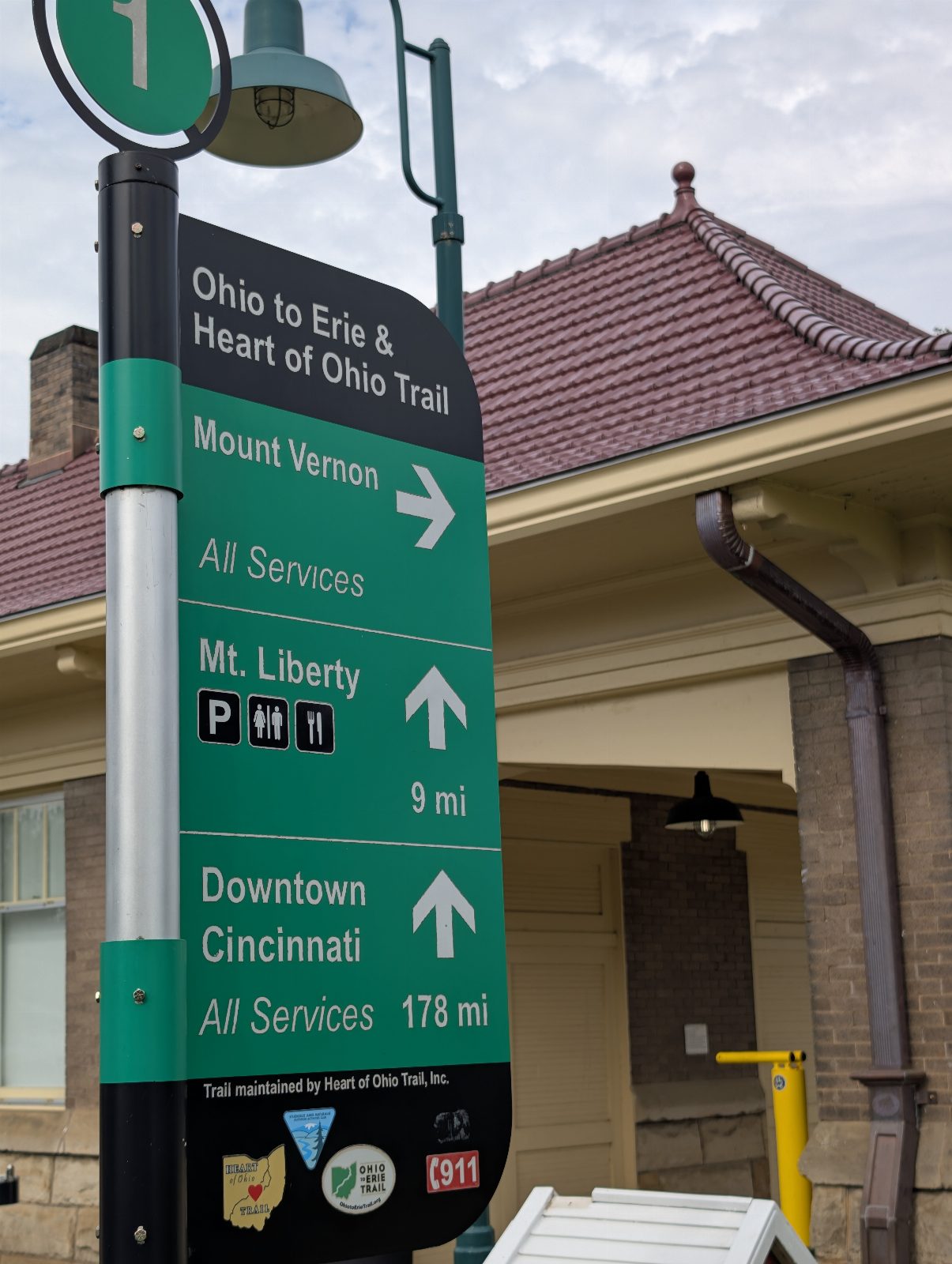
- Mostly the green Route 1 bicycle route signs along the trails.
- A set of southbound OTET maps, bought from OTET. I reviewed them each night.
- When I got confused about trail connections — mostly in and out of Columbus — I checked the Ride with GPS OTET route and the interactive map on the OTET website for closures and detours.
Power
- One 10,000 mAh power bank, charged at every place I stopped.
- The Kokosing campground had electricity. The other two didn't.
Fixing things
- Two spare tubes, a small pump, a multitool and a patch kit.
- Thankfully, no serious issues.
Eating
- Plenty of electrolytes. Pretty much any time I had water, there were powdered or liquid electrolytes mixed into it.
- GU gels, with electrolytes and some caffeine.
- Honey Stinger waffles. The best road snack, and one I'd never had before — one or two a day while riding, and I felt refreshed after eating each one.
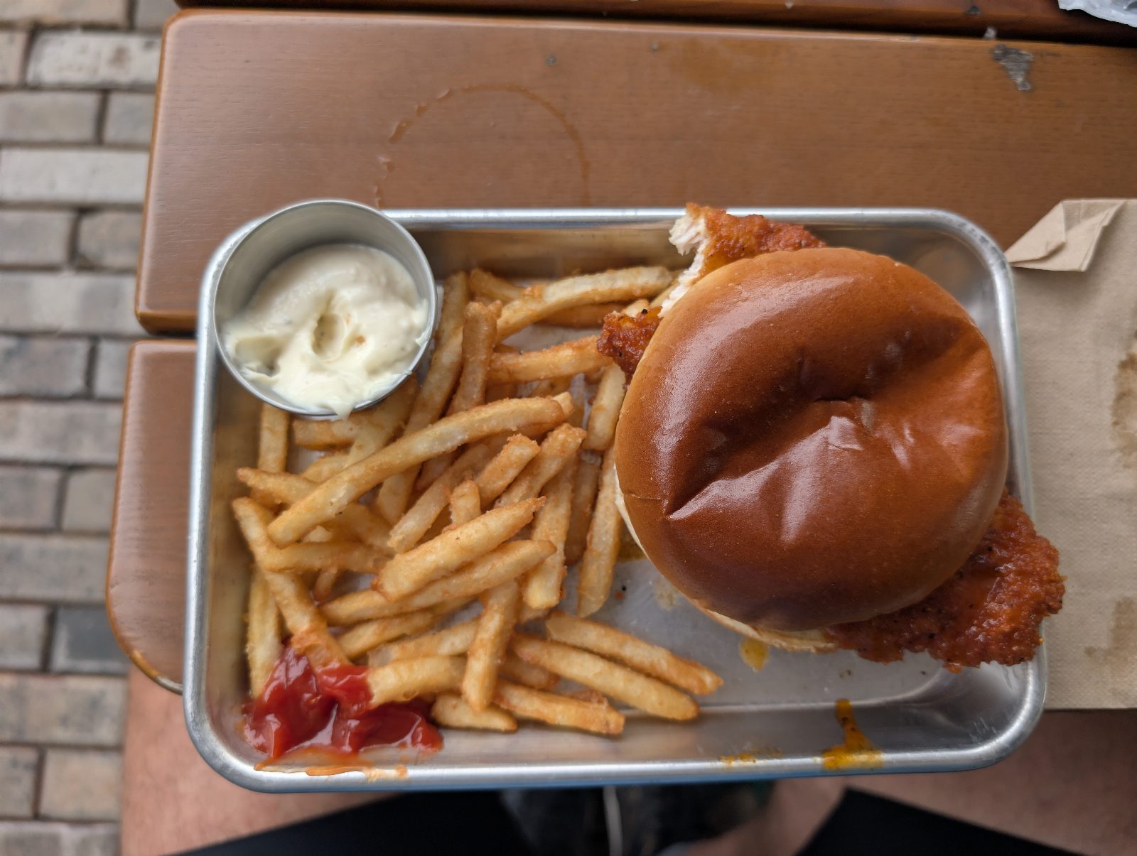
- A dehydrated granola breakfast for the last day. Otherwise I ate out for most major meals.
Next time
- Would leave behind: My Fujifilm X-M5. I like photography and thought I would take photos with it, but getting it out always felt like a hassle that would disrupt my flow, so I hardly used it. It should have stayed home.
- Would leave behind: A LifeStraw water bottle, in case I got desperate for water. With good planning, I never needed it.
- Would leave behind: A 3L CamelBak. I used it on the last night and could have gone without it.
- Would leave behind: A paper journal. I didn't have the energy or the time to write in it — I prioritized checking in with friends and family instead.
- Would bring: Sandals. I left my Chacos at home and wore sneakers, which were comfortable right up until they got soaked on the rainy Thursday ride.
What it cost
Five days, three nights in a tent and one in Columbus with friends. The campground fees and the maps were paid before I left, which is why they don't appear in the week's card charges.
| One-way rental car, Cincinnati to Cleveland | $27 |
| Canal Fulton Canoe Livery, plus firewood | $38 |
| Kokosing Valley Camp & Canoe, plus laundry | $22 |
| Constitution Park, Spring Valley | $5 |
| OTET southbound map set | $20 |
| Food and drink, five days | $231 |
| Total | $343 |
The rental car retailed at $90. Enterprise points and a discount through my employer brought it down to $27. The night in Columbus cost nothing because Paige and Meg put me up. The best-value meal of the week was a DoorDash order from a Speedway in Mount Vernon, delivered to my campsite at Kokosing after the camp store had closed — dinner and water in one go. That comes to about a dollar a mile. Not counted: the bike, or any of the gear I already owned.
What people wrote
Left on the tracker while I was out there. I read them at lunch.
Safe Travels!
Matt W. · September 2
Go get em, love you! - Adelyn
Adelyn S. · September 4
Cutie!
Bit · September 6
If anxious on the trip - pause, take a deep breath in, and out slowly - See and feel - See how far you’ve come and the journey you’re on - the Yogi would say.
Kyle F. · September 7
Love you Da Peters. Good luck on your ride!!
Michael S. · September 8
Don't die please
Joe A. · September 8
You can do it!!!!
Jeanne K. · September 9
It was difficult figuring out how to donate fyi. Crank on!
Tanner Y. · September 12
You are amazing! Excited to follow along for the ride :)
Sarah · September 12
Go Peter Go!! Have fun!
Sarah · September 12
Have fun!!
Sarah · September 12
Go Uncle, Petey, go!!!
Alma P. · September 12
Smooches
Indi · September 12
good luck with your ride
Pawel · September 14
Go Peter go! 🥰
Lech K. · September 14
Tire dipped!!!
Bit · September 15
Beautiful photos!
Pawel · September 15
Fiona and Fritz are cheering you on!
Nicole M. · September 16
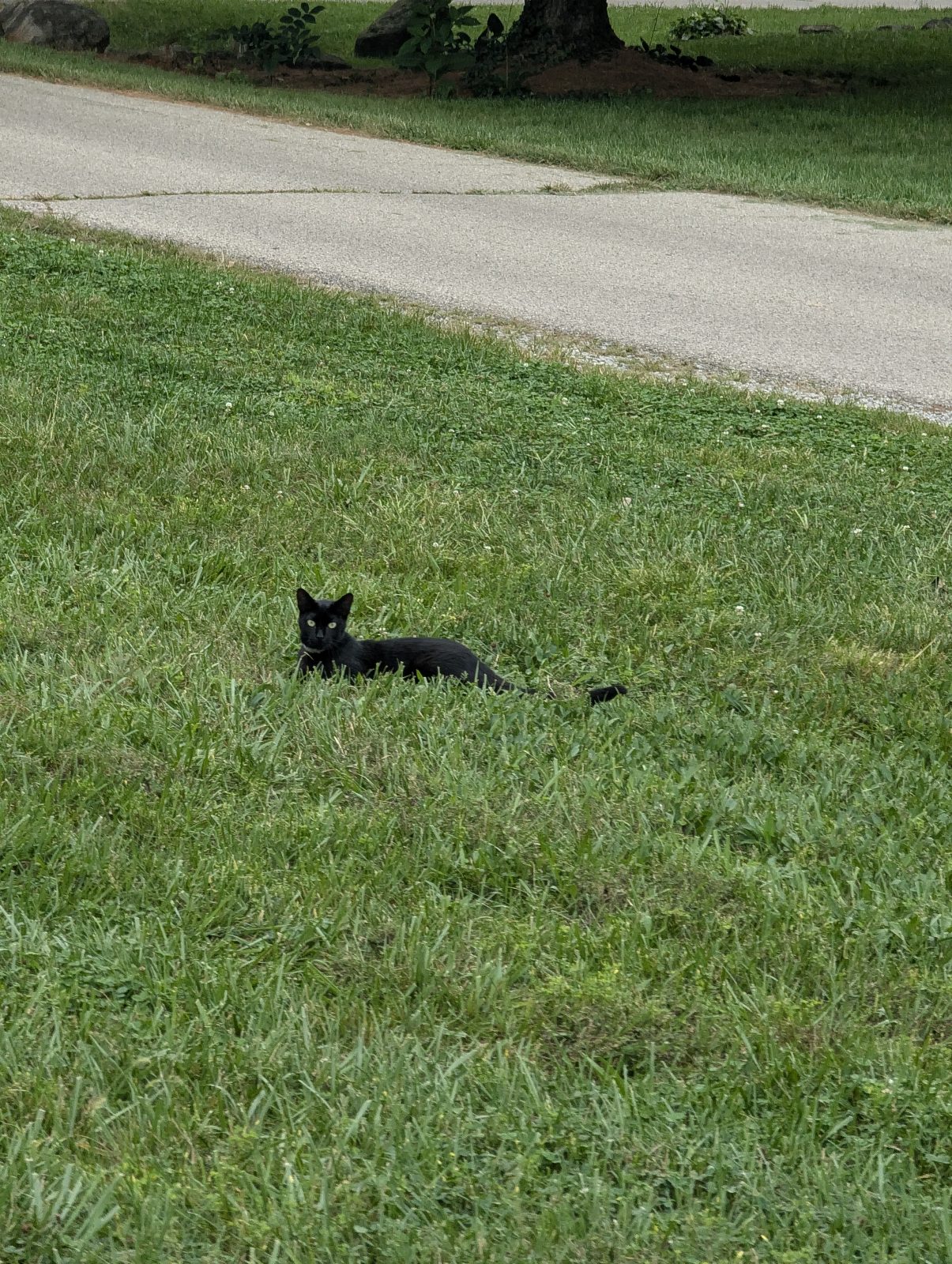
Lots of little buddies today! 🐱🫏🐑
Bit · September 16
I hope you are being safe! I love you and enjoy the ride!!
Moria · September 16
The Richland section looks amazing. Super cool to see the covered bridges. You’re right on schedule, Peter! Great job 👏
Kyle F. · September 16
Such an amazing cause!! I love it!
Good luck on the ride!!!
-Max
Max R. · September 16
Photos not uploading mid ride today. Will troubleshoot at lunch. Got some good ones :) - Peter
Peetko · September 17
Inspiring ride Peter. Safe travels. Enjoy the solitude.
“I think one travels more usefully when they travel alone, because they reflect more."
(Letter to John Banister, Jr., June 19, 1787)
Thomas Jefferson, The Papers of Thomas Jefferson: Vol 11, January 1787 to August 1787
AJS · September 17
You’re crushing it!!
Kyle F. · September 17
You are so very missed. Enjoy the ride, nature and all it has to offer your soul! Be careful see you soon…🚴🚵♀️♥️☮️ love you! Mama
Moria · September 18
Go Peter!!
Angie · September 18
Almost home!!!!
Bit · September 18
Faster every day! I'm proud of you <3
Lech K. · September 18
Congratulations you did it We are so proud of you, love you so much!
Pawel · September 19
$1,471 from 23 people toward $3,260. It all goes to the Ohio Giving Collective and out this winter as grants of up to $15,000 to Ohio organizations doing the year-round work that nobody funds between elections — decided collectively by seventeen Ohioans rather than by a foundation.